
Bastia / Cardo
The ice houses and ridges above Bastia
A long loop from the town, through villages and old ice houses, with views towards both coasts.
The ice houses and ridges above Bastia
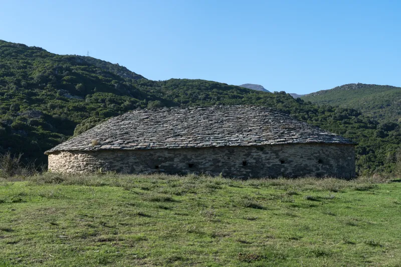
Above Bastia, the old ice houses reveal an unexpected connection between mountain and town: snow stored in stone buildings. The loop links Cardo to the heights, follows part of the ridges and descends towards Ville-di-Pietrabugno. It lets you leave the town on foot and discover the hills that close the horizon behind the harbour façades.
This is a full day’s walk. The 17.24 km, around 830 m of ascent and estimated time of more than seven hours require an early start. Much of the beginning and end follows roads; bear this in mind before choosing the outing. The appeal of the paths and old buildings does not make these links entirely natural trails.
For rail travellers, the loop makes sense if you have a sufficiently long day or are staying in Bastia. It is less suitable for a short stopover. Prepare an offline map: waymarks may be discreet or irregular, and several junctions lead to other villages.
The route

Landmarks along the walk
The reference start is on boulevard Benoîte Danesi. Reach it from the station, adding this urban approach to your walking time. Before setting off, check that the total duration fits your return arrangements; a long loop offers less flexibility than a short out-and-back walk.
The initial climb reaches Cardo via the Saint-Antoine area and roads. Stay visible and watch for vehicles. These kilometres are part of the route: they must not be subtracted to present the outing as a simple mountain path.
At Cardo, take time to locate the path towards the ice houses. The village retains several heritage features, including an old washhouse. The transition from houses to path is a good moment to check your water, the weather and your pace before the steeper climb.
The path climbs via Aia Maio, then reaches the first ice houses. The vegetation gradually opens out. Approach the buildings without climbing on their walls: appreciate them from the path, without entering unstable areas or moving stones.
The ridge section heads towards Bocca di Pinaciolelle. It offers views towards both sides, depending on visibility. In fog, the landscape quickly disappears; rely on the map and landmarks rather than following an inviting track. Wind can also make a long stop uncomfortable despite the mild conditions lower down.
The descent leads to Bocca Pruna and its ice house, then towards the paths of Ville-di-Pietrabugno. Save energy for this second half: footing becomes less certain as fatigue sets in. Stones, leaves and small damp crossings still require care.
The return to Bastia includes more road walking. Do not calculate your arrival at the station from the end of the forest section alone. If seriously delayed, favour an organised return arrangement rather than running the final kilometres. The variant described is the full loop; starting at Cardo or returning by transport gives a different distance.
The long urban sections are part of the outing and its overall effort. Remember them when calculating your train time: after several hours on the heights, the final kilometres still require care at junctions. Keep some water for the end rather than assuming a shop will be open in exactly the right place.
Full variant from boulevard Benoîte Danesi: 17.24 km, 7 h 20 and 829 m of ascent. Shorter variants from Cardo or involving transport do not share these figures. The second photo shows Bastia, the starting town, rather than a specific view from the trail. Documentary check: 19 September 2026.
Along the way
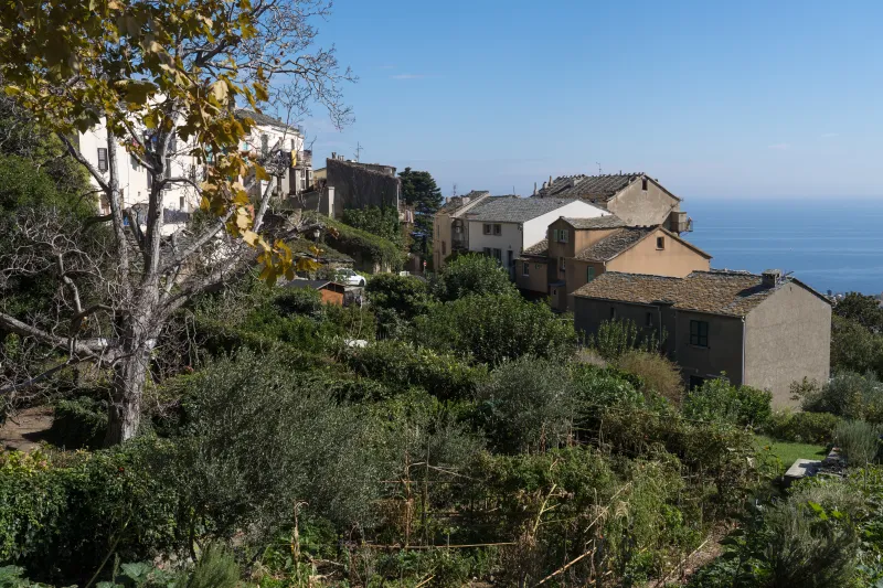 Cardo: a hillside village before the climb.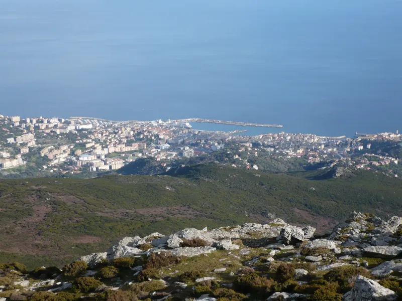
Photo credit
Photo : Urelianu / Wikimedia Commons · Cropped — Public domain · SourceThe ridges: views towards Bastia and the Saint-Florent side.-
Bocca Pruna: beside the descending path, the ice house recalls the former practice of storing snow. Observe this stone heritage without entering fragile areas.


_(6).jpg)


Practical advice
Carry water, food, sun protection, a windproof layer and an offline map. Do not rely on springs as a reason to carry too little water. Check restrictions on access to natural areas before climbing.
Safety information
Long road sections, sometimes unclear waymarks, possible fog and slippery ground on the heights. The duration and ascent require good stamina despite the moderate rating. Do not climb on the ice houses.
Photo gallery
Select a photograph to enlarge it.

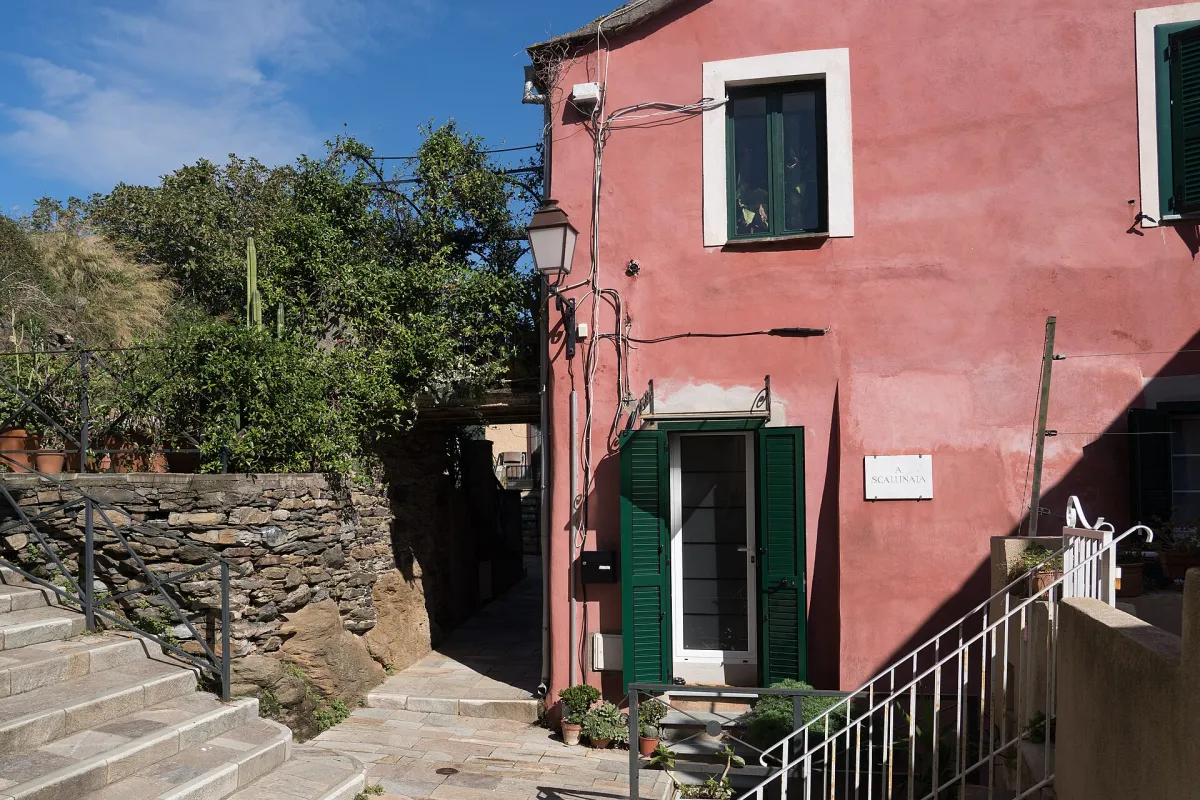
A lane and a colourful façade in the village of Cardo.
Photo : Alexkom000 / Wikimedia Commons · Cropped — CC BY 4.0 · Source

Bastia and the coastline seen from a hillside trail, September 2024.
Photo : Alexkom000 / Wikimedia Commons · Cropped — CC BY 4.0 · Source

The houses of Cardo with the sea in the background.
Photo : Alexkom000 / Wikimedia Commons · Cropped — CC BY 4.0 · Source