
Ajaccio
The ridges of Ajaccio via Finosa and Cinaraggio
A loop through the maquis above the gulf, starting at the Bois des Anglais.
The ridges of Ajaccio via Finosa and Cinaraggio
Behind Ajaccio, the hills let you move quickly from streets to maquis. The loop described starts at the Bois des Anglais, follows part of the ridge trail, then reaches Finosa and the small summit of Cinaraggio. The gulf accompanies much of the outing, while the return through the inland hills offers another view of the town.
This hike is neither the short Cupetta walk nor the long traverse to the Parata. Its 11.77 km and around 530 m of ascent mean almost five hours of walking, plus breaks and the approach from the station. You need a good part of the day, even though the nearest houses remain close.
The terrain is typical of Mediterranean hiking: stones, sometimes eroded paths, maquis and sun-exposed stretches. In spring or on a mild day, the pace can be pleasant; in intense heat, the same distance becomes much harder. Choose your timing and season as carefully as your train.
The route
Landmarks along the walk
From Ajaccio station, reach the start on avenue de Verdun, near avenue Nicolas Pietri. This urban link is additional to the loop’s figures. Locate the path before leaving the streets and keep your map available: several local routes are called the ridge trail.
The first hairpins climb through the Bois des Anglais. Follow the maintained path and signs on the ground; do not seek an old overgrown track simply because it appears on a screen. The gradient helps you find a sustainable pace for the rest of the walk.
The loop then joins the ridge trail and heads generally west. The gulf remains on the seaward side, while junctions can lead to other routes. Stop to read your map rather than trying to do so while walking over stones. You do not need to leave established paths for the views.
Before continuing too far towards the Parata, turn towards Finosa following the loop’s track. This change of direction is essential: continuing along the long traverse would completely change your finishing point and return to the train. The ruins are a landmark on this more inland section.
An out-and-back detour reaches Cinaraggio. The small summit opens up the panorama, but it remains a hiking destination where wind, exposure and ground conditions must guide your decision. If heat or fatigue are already considerable, skipping this detour is better than too short a break followed by a hurried descent.
Return towards Finosa, then take the return branch past Monte Salario. The descent has several junctions: compare directions with the map, without assuming every downhill path leads to your starting point. Seeing the town below is not a precise enough landmark to improvise.
The final stretches return to the hairpins of the Bois des Anglais, then avenue de Verdun. You still need to reach the station, perhaps stop for a drink and allow time to board. Plan this margin before setting off. You can shorten the hike by retracing your steps, but the figures shown will no longer describe the outing completed.
In the most open sections, use breaks to compare your progress with the time available. Heat can greatly slow the return even when the terrain seems less demanding. Keep enough water for the final link to the station, and decide to shorten the walk before exhausting that reserve.
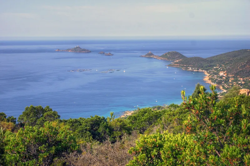
Reference loop via Finosa and Cinaraggio, distinct from Cupetta and the traverse towards the Parata. The photo shows the landscape of the ridge trail and the Sanguinaires; it illustrates the area without locating a precise point on this loop. Documentary check: 19 September 2026.
Along the way
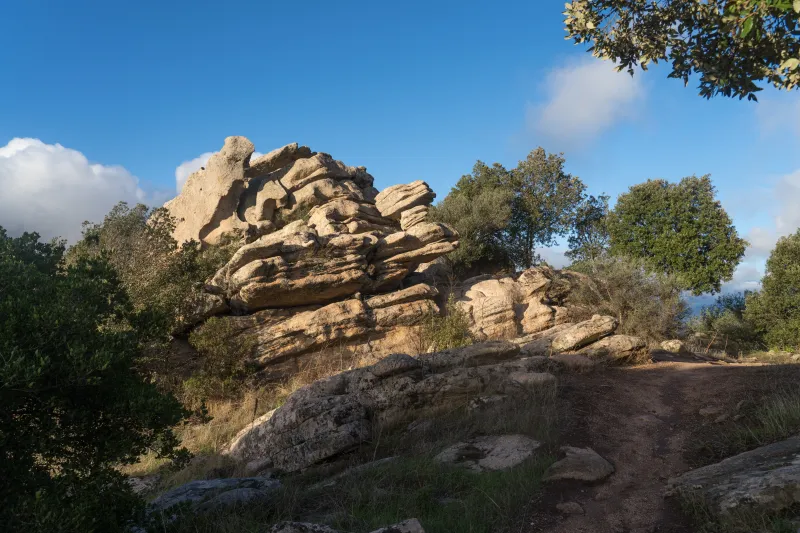 Rocks along the path: between Finosa and Cinaraggio, granite formations mingle with the maquis. Enjoy this rocky landscape from the path without leaving the route.
-
Photo credit
Photo: Pir6mon / Wikimedia Commons — CC BY-SA 3.0 · SourceThe gulf of Ajaccio: a sea horizon from the heights. 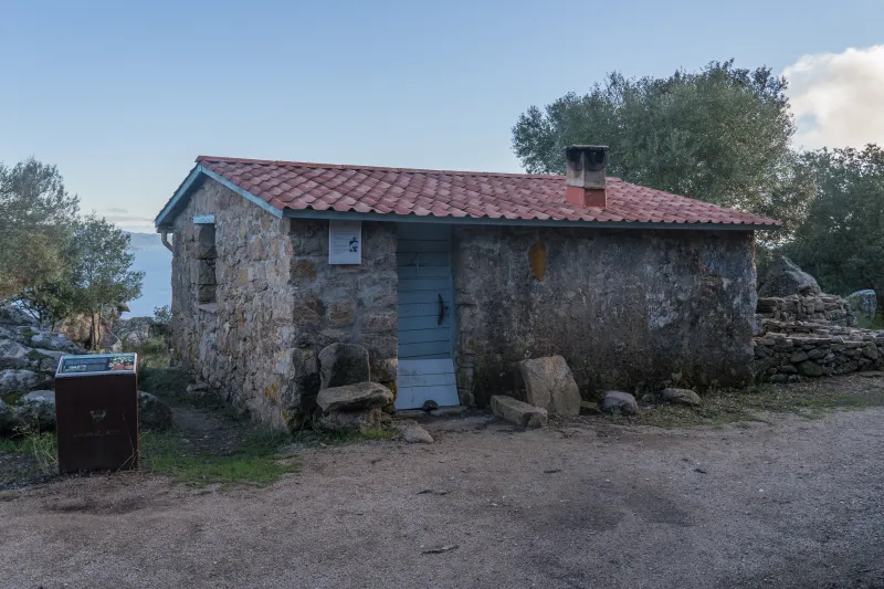 Finosa: ruins encountered on the loop.
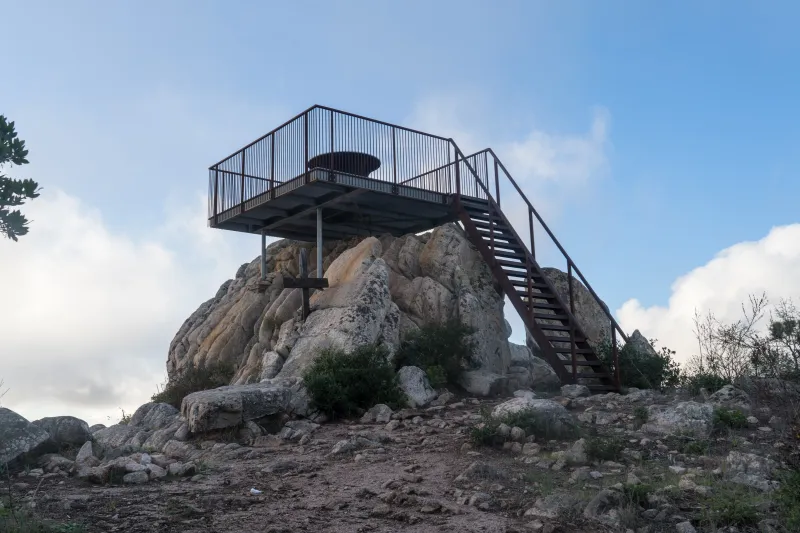 Cinaraggio: the viewpoint on the selected variant.


Practical advice
Set off early with water, sun protection and an offline map. Check wildfire-related restrictions. Being close to town guarantees neither shade nor supplies on the ridges.
Safety information
Intense heat, stony or eroded sections and numerous junctions. Do not continue towards the Parata by mistake. Avoid the hottest hours and days when access to natural areas is prohibited.
Photo gallery
Select a photograph to enlarge it.

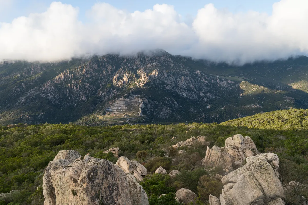
Rocky ridges and maquis seen from Cinaraggio beneath the clouds.
Photo : Alexkom000 / Wikimedia Commons · Cropped — CC BY 4.0 · Source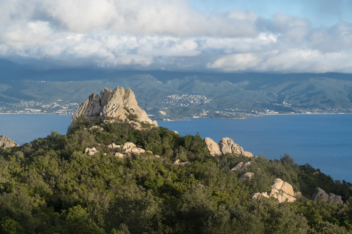
The Gulf of Ajaccio beyond the rocks and maquis of Cinaraggio.
Photo : Alexkom000 / Wikimedia Commons · Cropped — CC BY 4.0 · Source
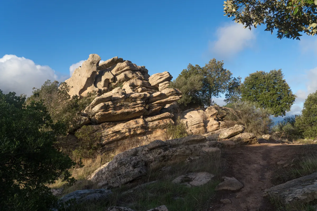
Rocks and vegetation on the ridge path between Finosa and Cinaraggio.
Photo : Alexkom000 / Wikimedia Commons · Cropped — CC BY 4.0 · Source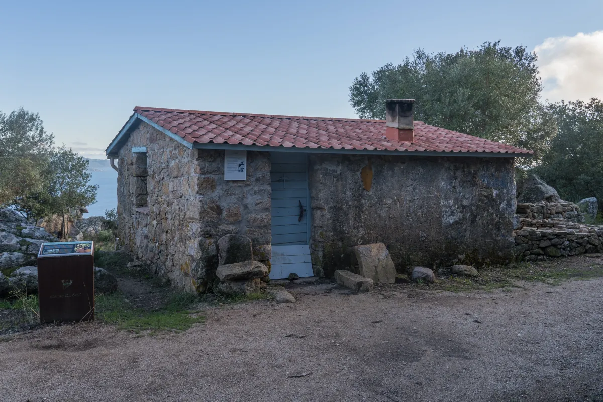
The restored Finosa shepherd’s house on the Ajaccio ridges.
Photo : Alexkom000 / Wikimedia Commons · Cropped — CC BY 4.0 · Source