
Ajaccio / Sanguinaires
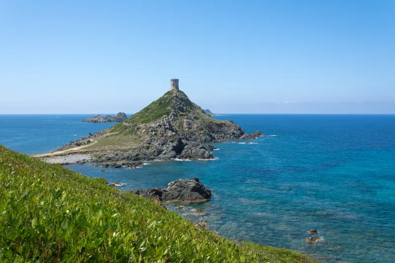
The Parata peninsula and tower
A coastal walk facing the Sanguinaires, after a bus link from Ajaccio.
The Parata peninsula and tower
At the end of the Sanguinaires road, the Parata projects into the sea facing the islets. The Genoese tower is an easily recognisable landmark, but the walk also rewards you with changing perspectives around the peninsula, low maquis and the contrast between rocks and water. The route stays on the mainland: no sea crossing is included.
The reference loop is 4.1 km and takes around 1 h 45 of walking. Despite its easy rating, it includes climbing and sections requiring care with your footing. It is not a flat walk equally accessible to everyone. This page does not promise access inside the tower.
From Ajaccio station, you first need to reach the bus departure point for the Parata. This makes the outing possible without a car, provided you check the last return service. Evening light may tempt you to linger; remember that getting back to the station involves much more than a simple walk.
The route

Landmarks along the walk
On arrival at the Parata, start with the information at the Maison du Grand Site. It identifies open paths and areas potentially affected by works. The published loop provides a distance reference, but current signs take precedence over an old track.
Follow the authorised paths towards the peninsula. The landscape quickly opens out: the tower and islets are landmarks, while the wind may become stronger than at the start. Take time to observe from designated spots, without taking shortcuts through the vegetation.
The climb towards the tower requires greater care. Keep children close and stay away from rocky edges. Enjoy the panorama from outside; do not assume an open door, scaffolding or a worksite permits a visit.
Continue around on open paths, then return towards the reception area. Moving from one side to the other provides different views of coast and sea. Much of the pleasure comes from walking slowly: there is no need to add the customs officers’ trail to make the outing worthwhile.
Before a final break, check the bus time and how long you need to reach the stop. The return to Ajaccio, then the station, must be organised separately. If conditions require a shortened loop, stick to that choice: a closure or excessive wind is not a reason to seek a way around beside the water.
Reference: a 4.1 km loop, 1 h 45 and 180 m ascent. Descent not specified. The restored tower was inaugurated on 20 June 2026; landscaping begun in May 2026 may still alter paths. Consult Grand Site information before the outing. Documentary check: 19 September 2026.
Along the way
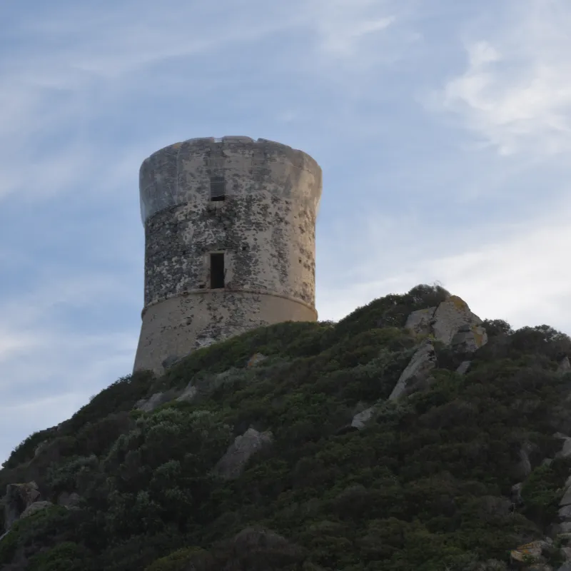
Photo credit
Photo : Mussklprozz / Wikimedia Commons · Cropped — CC BY-SA 4.0 · SourceThe Parata tower: the peninsula’s heritage landmark.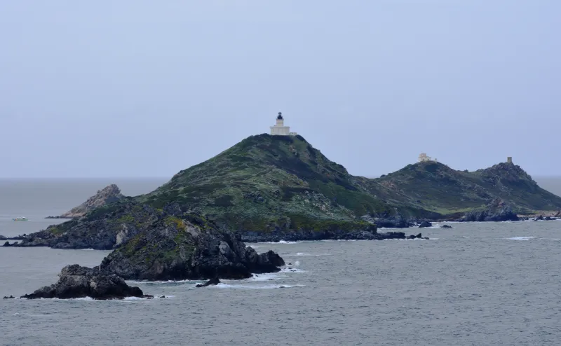
Photo credit
Photo : Mussklprozz / Wikimedia Commons · Cropped — CC BY-SA 4.0 · SourceThe Sanguinaires islands: the archipelago seen from the mainland.-
Photo credit
Photo: Isiwal / Wikimedia Commons — CC BY-SA 3.0 · SourceThe rocky coast: changing perspectives around the headland. 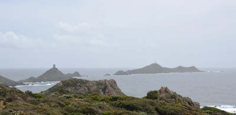
Photo credit
Photo : Mussklprozz / Wikimedia Commons · Cropped — CC BY-SA 4.0 · SourceThe maquis: coastal vegetation to protect by staying on paths.


Practical advice
Carry water, a hat and suitable footwear. Allow a margin for the bus and train. Stay on paths, keep dogs on a lead and take your litter home.
Safety information
Wind, sun and rocky edges. Do not cross barriers or enter work areas. The coast provides no shelter in bad weather.
Photo gallery
Select a photograph to enlarge it.

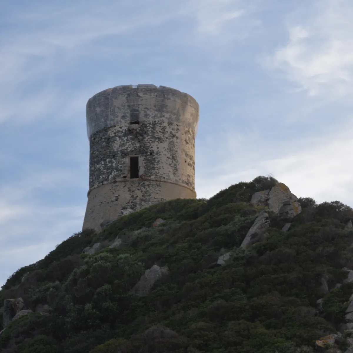
The Parata tower on its rocky headland.
Photo : Mussklprozz / Wikimedia Commons · Cropped — CC BY-SA 4.0 · Source
The Parata tower and coastline at sunset.
Photo : Pierre Bona / Wikimedia Commons · Cropped — CC BY-SA 3.0 · Source
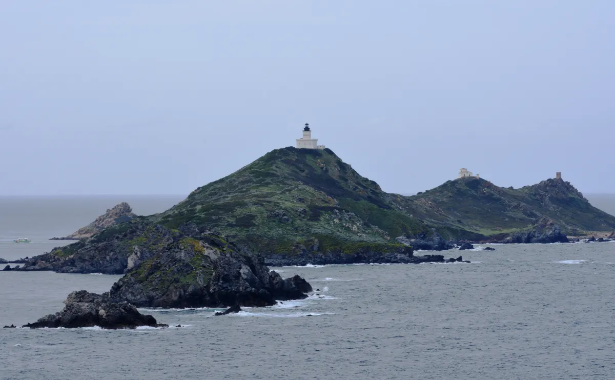
The Sanguinaires islands seen from the Parata headland.
Photo : Mussklprozz / Wikimedia Commons · Cropped — CC BY-SA 4.0 · Source