
Corte / Tavignano
Tavignano: the Russulinu footbridge
From the heights of Corte, follow the old path through the gorge to the footbridge and return through the same valley.

Tavignano: the Russulinu footbridge
Explore the Tavignano on foot by leaving the area around Corte’s citadel. The path soon rises above the river and the town gives way to a rocky valley. The route to the Russulinu footbridge lets you explore part of it without committing to the much more distant A Sega refuge.
This page follows the 12.10 km out-and-back route from the refuge sign near the citadel. The walk there from Corte station is additional to these figures. Allow a full enough day, especially if you want a long stop near the footbridge. The return follows the same path and still takes energy: reaching the water is only halfway through the outing.
The valley’s rocky character is both its attraction and a reason for its exposure to heat. This is not a walk constantly beside accessible water. You are often above the torrent on uneven ground, with sections where your footing needs more attention than the scenery.
The route


Landmarks along the walk
Reach the start signed towards A Sega refuge, near the citadel. The refuge direction guides you into the valley; it is not today’s destination. The path gradually enters the gorge, with stony stretches requiring careful steps.
The first section reaches the Madunina area and the Ficaghjola stream. A pause lets you check that your pace fits the time available. Small springs are not a guaranteed water supply, particularly after dry weather.
The path continues towards Antia, then more open stretches overlooking the gorge. Stop on stable ground to look or take photographs. There is no need to approach the edge of a slab to appreciate the valley’s depth.
The Russulinu footbridge is the turnaround point for the chosen variant. A Sega refuge lies beyond and should not be added simply because you feel like continuing. Take time to eat and drink before heading back: the return may be hotter.
Being near the river does not mean you need to swim. Look at the flow, the rocks and local guidance. After rain or in unstable weather, stay away from confined passages and do not descend to the water’s edge.
Finally, retrace the path towards Corte. Walking in the opposite direction offers different views, but crossings and rocky sections remain demanding as fatigue sets in. On reaching the citadel area, the urban walk to the station remains: allow a real margin rather than timing your return to the train to the minute.
The river is part of the landscape, not a crossing to shorten the return. If the flow or sound of the water increases, keep away from low banks. Take breaks on stable ground away from the edge, where the group can stop without blocking the path. On this out-and-back walk, every hour spent going forward means walking back: set a turnaround time that leaves a margin for the descent to Corte and then the station. The footbridge is a destination, but does not justify continuing when conditions or fatigue no longer allow it.
Selected variant: the 12.10 km track updated in July 2026, starting near the citadel. The 16.19 km track from another point in Corte is not combined with it. Documentary check: 19 September 2026.
Along the way
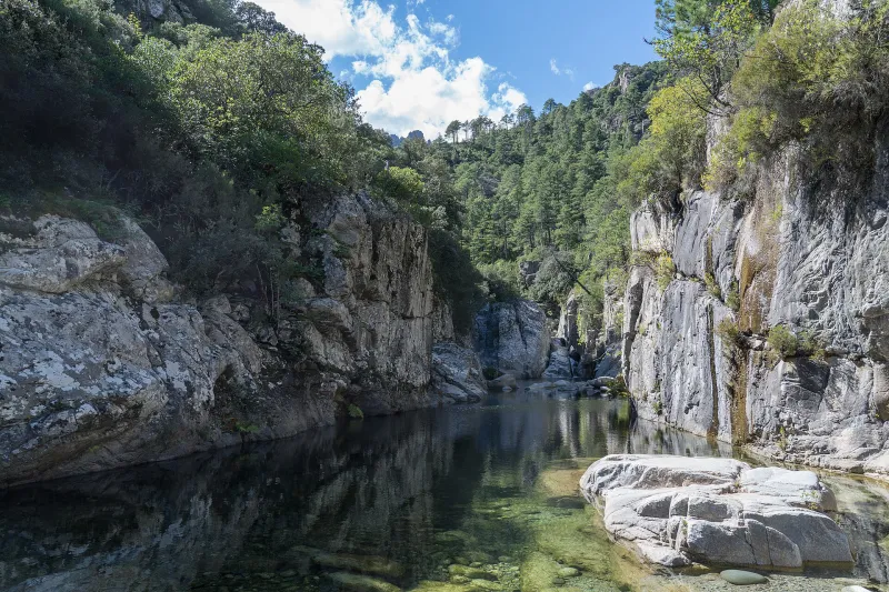
 The Tavignano gorge: a deep valley accessible on foot from Corte.
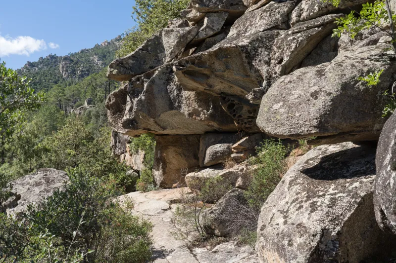
 The old mule track: above the river, the path follows the valley slopes between rocks and vegetation, revealing the gorge as you walk.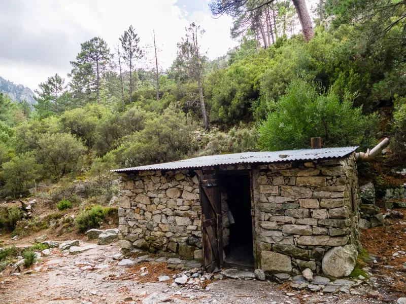
Photo credit
Photo : SQFP.info / Refuges.info · Cropped — CC BY-SA 2.0 FR · SourceAntia: a stopping place on the old valley path.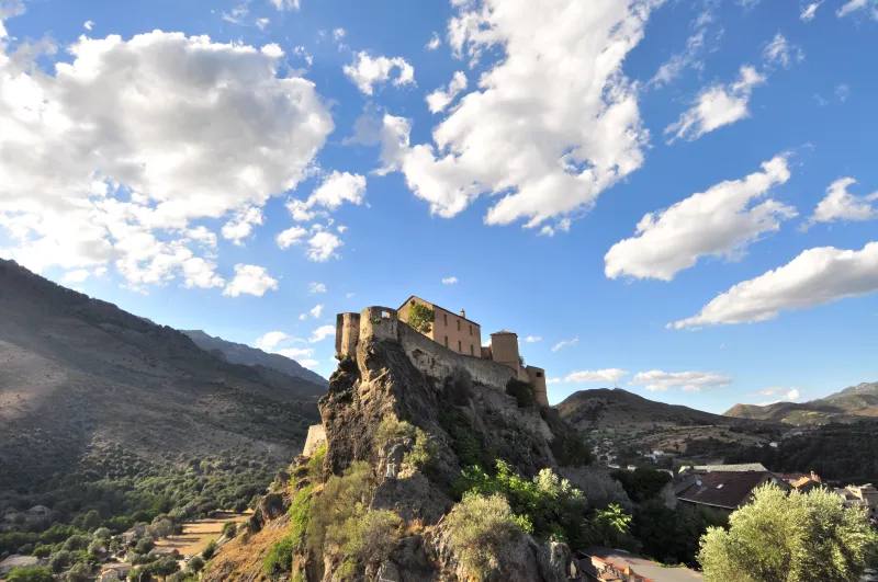
Photo credit
Photo: Sebastien / Wikimedia Commons — CC BY-SA 4.0 · SourceCorte at the start: the citadel rises above the town at the beginning of the walk. From its surroundings, the path gradually leaves the town behind and heads up the valley.


Practical advice
Start early in hot weather, with enough water and sun protection. Use A Sega refuge as a direction, not an improvised extension.
Safety information
Heat, stony ground and passages close to steep slopes. Beware of slippery rocks and rising water; do not jump into pools whose depth you do not know.
Photo gallery
Select a photograph to enlarge it.
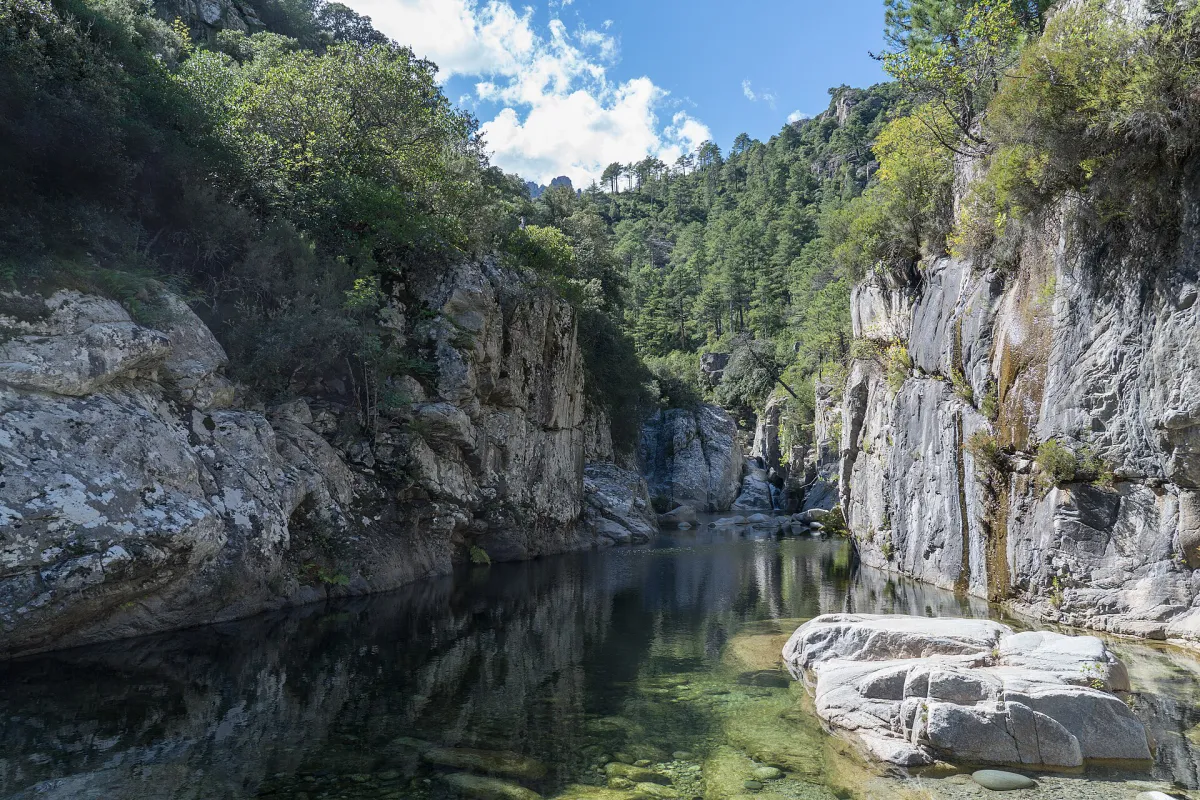
Cliffs and water in a narrow section of the Tavignano gorges.
Photo : Alexkom000 / Wikimedia Commons · Cropped — CC BY 4.0 · Source

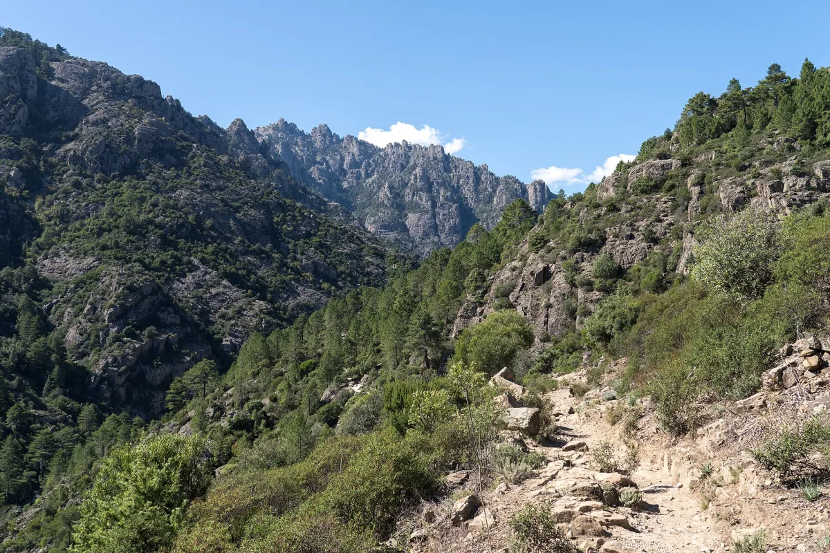
The Tavignano gorge trail among pines and rocks.
Photo : Alexkom000 / Wikimedia Commons · Cropped — CC BY 4.0 · Source

A natural pool in the Tavignano valley; this view does not locate the Russulinu footbridge.
Photo : dronepicr / Wikimedia Commons · Cropped — CC BY 2.0 · Source.jpg)
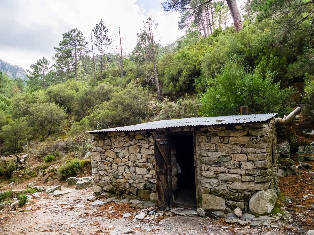
Stone shelter at Antia beside the Tavignano path, October 2015
Photo : SQFP.info / Refuges.info · Cropped — CC BY-SA 2.0 FR · Source