
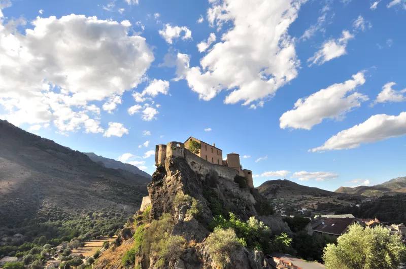
Corte / Restonica
Punta di Zurmulu: Corte to the Restonica
A rocky viewpoint above Corte, followed by a descent to Chjarasgiolu with a return connection to arrange.

Punta di Zurmulu: Corte to the Restonica
Punta di Zurmulu overlooks Corte between the Tavignano and Restonica valleys. The route starts near town, climbs through vegetation and reaches a small rocky summit. The second part descends to the Chjarasgiolu footbridge: this is a point-to-point crossing, not a loop that automatically brings you back to the station.
The 4.26 km distance might suggest a quick stroll. Yet the elevation gain, slopes and final rocky passage require hiking experience. This is a short, strenuous outing, rewarding for understanding the geography of both valleys from above. Difficulty cannot be measured in kilometres alone.
For a visitor arriving by train, the key issue is the return from the Restonica. During its operating season, the C13 shuttle is an option to investigate at Chjarasgiolu. Outside that season, another connection must be planned; the path’s figures include neither the road return nor the approach from the station. The photographs illustrate Corte and the valleys, without claiming to show every passage of the crossing.
The route


Landmarks along the walk
From Corte, reach the start of the heritage trail between the Pont Vieux and the entrance to the Restonica. The crossing first follows this trail before heading towards Zurmulu. Check directions at junctions: the area’s different paths do not all return to the same place.
The climb passes beneath oaks and heather, then opens out in places before the pines at the pass. Set a measured pace from the start. Being near town reduces neither the gradient nor the effort, and opportunities to rest should not depend on an overly tight time estimate.
The small summit is reached by a rocky passage where hands may be needed. Do not continue if you find the move difficult, if the rock is wet or if wind affects your balance. The view brings together Corte, its citadel and the two valleys; enjoy it from a safe position.
Return to the pass before descending towards the Restonica. Do not seek a direct exit from the summit. The slope still requires care, especially when your legs begin to tire after the climb.
The Chjarasgiolu footbridge is the chosen walking finish. Your return to Corte must be decided before setting off. The shuttle is seasonal: check its stops and conditions for your date, then allow enough time for the train. The extension via San Teofalu is a different hike and is not included here.
Without a confirmed connection, do not assume the road offers a return walk equivalent to the path. Its traffic and verges need to be assessed on the ground. Postponing the crossing may be wiser than finishing with improvised transport.
The separation between start and finish needs careful planning. Save the location of Chjarasgiolu and the return information before leaving Corte, then check the planned service’s times on the day. Descending to the Restonica does not automatically return you to the station. If no return option is confirmed, do not begin this crossing hoping to find a vehicle at the finish. An offline map keeps the path and road access together while helping you avoid mistaking a hiking track for a usable shortcut along the valley.
Official variant detailed on Visorando: 4.26 km, 2 h 45, +537/−470 m, one way. The Tourist Office’s summary lists 4 km and ‘loop’ but describes the same displaced finish: the Point to point field reflects the route actually presented. C13 checked for 2026; confirm any local restrictions before setting off. Documentary check: 19 September 2026.
Along the way
-
Photo credit
Photo: Sebastien / Wikimedia Commons — CC BY-SA 4.0 · SourceCorte: the town and its citadel seen in their mountain setting. 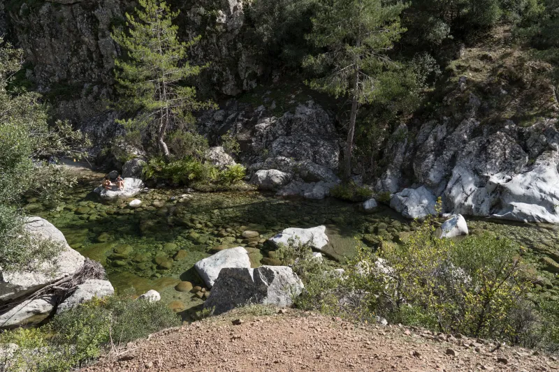 The two valleys: Tavignano and Restonica on either side of the ridge.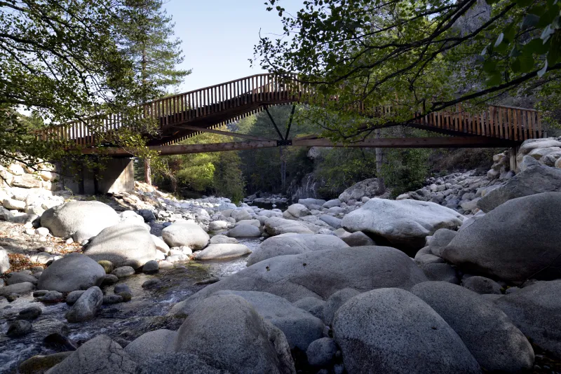
Photo credit
Photo : Pierre Bona / Wikimedia Commons · Cropped — CC BY-SA 4.0 · SourceChjarasgiolu: the end of the path in the lower Restonica.

Practical advice
Plan the return before climbing. Bring water, grippy shoes and sun protection; poles can help on slopes but must be stowable for the rocky passage.
Safety information
Sustained ascent and descent, with a short hands-on passage near the summit. Avoid wet rock, thunderstorms or this route if you are uncomfortable on rocky passages.
Photo gallery
Select a photograph to enlarge it.

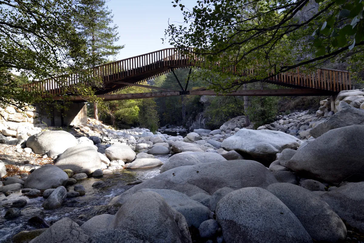
The footbridge over the Restonica at the end of the Chjarasgiolu trail.
Photo : Pierre Bona / Wikimedia Commons · Cropped — CC BY-SA 4.0 · Source
The Maison du Parc and the footbridge over the Restonica in Corte.
Photo : Pierre Bona / Wikimedia Commons · Cropped — CC BY-SA 3.0 · Source