
Upper Gravona valley
Le Voile de la Mariée from Bocognano
A short path to the waterfall viewpoint, reached by a road connection from Bocognano.
Le Voile de la Mariée from Bocognano
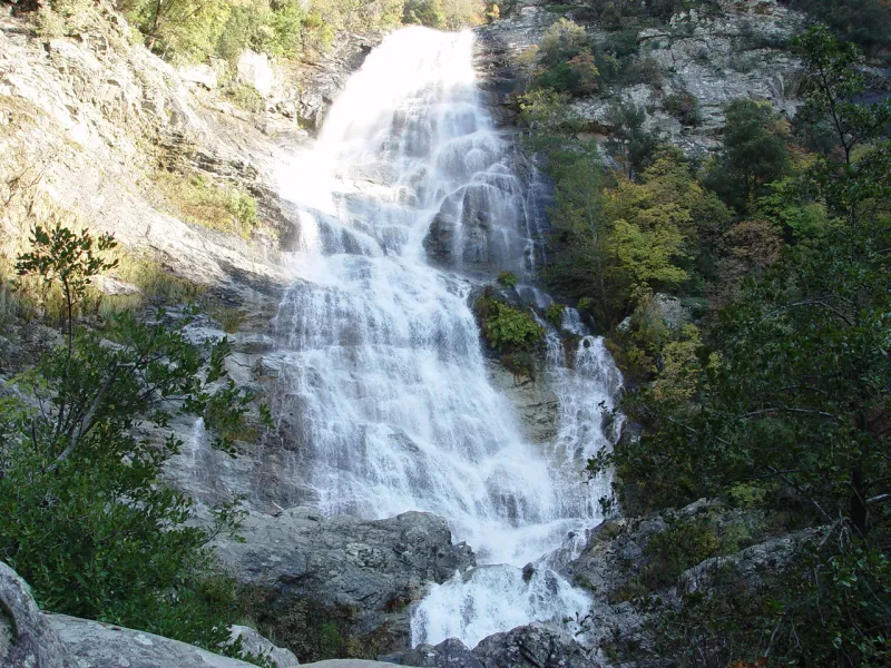
Le Voile de la Mariée spreads its streams of water down a high rock face near Bocognano. This visit is deliberately short: it reaches the designated viewpoint and returns to the same start. Come to observe the waterfall’s form, the rock and the surrounding vegetation, without trying to descend into the riverbed.
The link with the train needs to be clear. The path does not start at the station: it begins at Salicio bridge on the D27 towards Bastelica. An additional connection must therefore be arranged. For a visitor without a car, this walk makes sense if the transfer is confirmed in advance; it must not be presented as a forty-minute stroll from the platform.
The flow varies with conditions. Rain can make the spectacle more powerful while making the surroundings more dangerous. A good visit stays on the permitted path to the viewpoint, without seeking a better angle at the foot of the falls.
The route
Landmarks along the walk
The start is near Salicio bridge. Before the bridge, a wooden gate gives access to the path. The climb is short but distinct, through tall maquis. Wear shoes with grip: a short duration does not make wet ground safe.
The path leads to the protected viewing point where the waterfall appears. Take time to observe the rock and the different streams of water from this area. Do not cross the barriers or try to reach the pools below.
The visit ends at this viewpoint. Old waymarks continuing into the woodland do not mean an extension is open: that continuation is reported as closed and unmaintained. Return along the same path without improvising a loop.
Back on the D27, meet your arranged transport to Bocognano. Waiting beside a road is not an extra walking area; agree on a suitable meeting point with your transport provider. A village visit can complete the day before the train, but is separate from the time stated for the waterfall.
The current web page lists 0.3 km, 40 min and ±60 m, while the old guide gives 1 km and ±80 m. The total distance is not entered in the numerical field because the measured scope is not sufficiently clear: to be confirmed. The duration covers the path from the bridge to the viewpoint and back, excluding transfers. Documentary check: 19 September 2026.
Along the way
-
Photo credit
Le Voile de la Mariée: the waterfall seen from the designated viewing point. 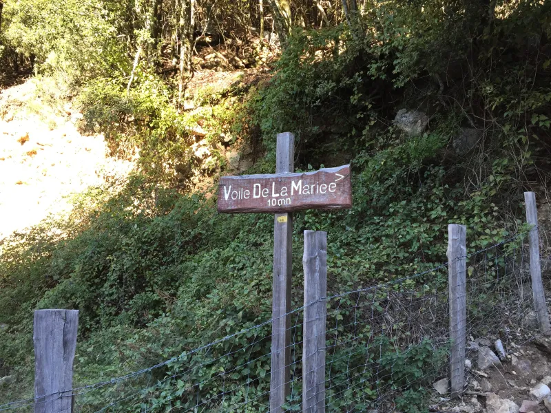
Photo credit
Photo : TeletubAstyanax / Wikimedia Commons · Cropped — CC BY-SA 4.0 · SourceThe maquis: the surroundings of the short uphill path.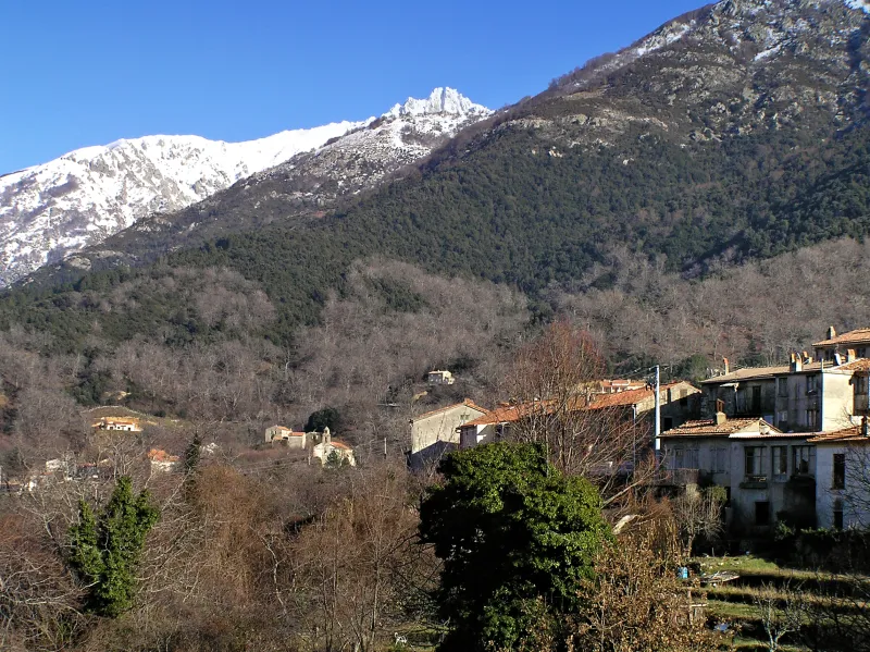
Photo credit
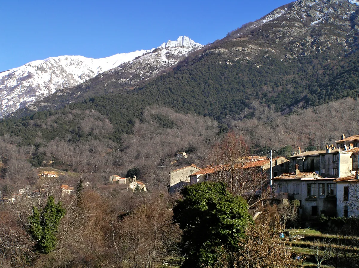
Photo: Pierre Bona / Wikimedia Commons — CC BY-SA 3.0 · SourceBocognano: an optional village visit, separate from the waterfall walk.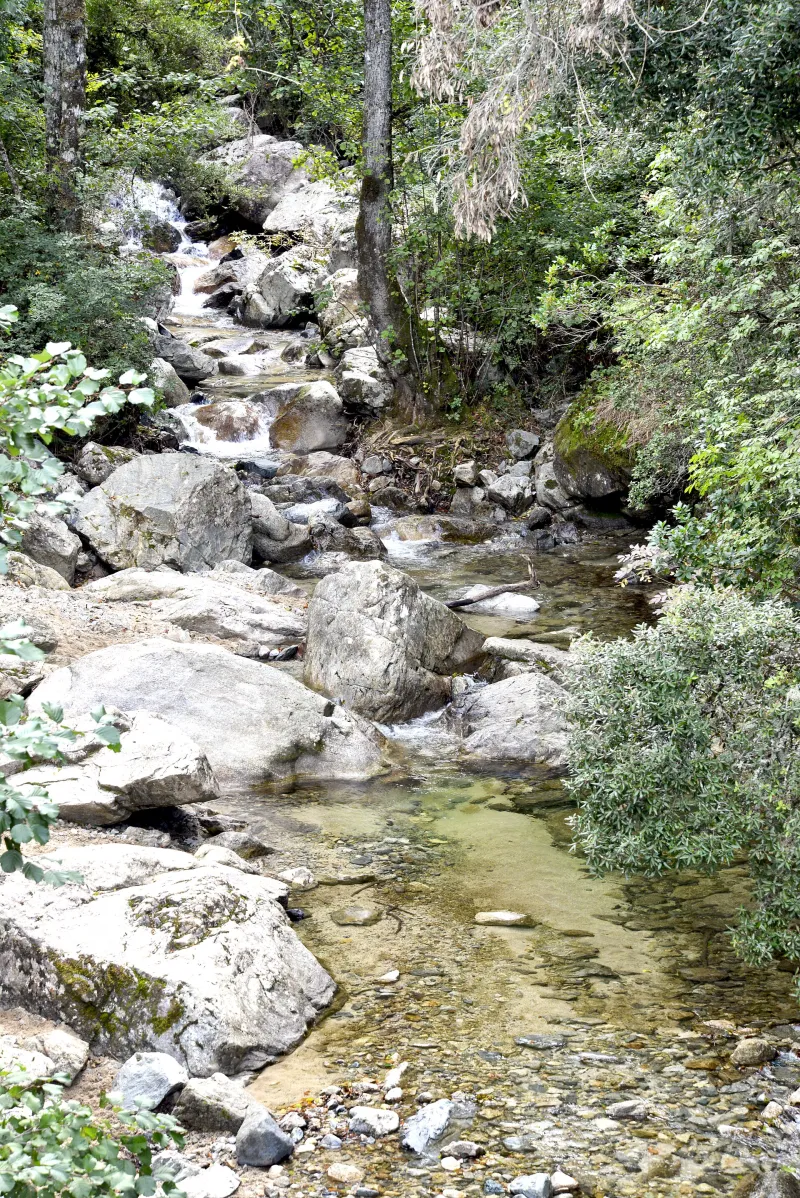
Photo credit
Photo : Pierre Bona / Wikimedia Commons · Cropped — CC BY-SA 3.0 · SourceThe Trotto at Salicio bridge : at the start of the walk, the stream can be seen from the bridge. Stay in permitted areas: this viewpoint is not an access point to the river.


Practical advice
Confirm both outward and return transfers before your outing. Stay on the designated path and bring walking shoes, even for this short visit.
Safety information
Swimming and access to the river are prohibited; there are risks of rockfall, slipping and rapid flooding. Do not follow the closed continuation of the waymarked route into the woodland.
Photo gallery
Select a photograph to enlarge it.


The Voile de la Mariée falls down the rock face above the vegetation.
Photo : Mussklprozz / Wikimedia Commons · Cropped — CC BY-SA 4.0 · Source

The Trotto stream upstream of Salicio bridge.
Photo : Pierre Bona / Wikimedia Commons · Cropped — CC BY-SA 3.0 · Source