
Balagne / Calenzana
GR20: from Calenzana to Ortu di Piobbu
The first stage of the northern GR20, after an arranged transfer from Calvi.
GR20: from Calenzana to Ortu di Piobbu
At Calenzana, the start of the GR20 quickly changes scale. Houses give way to mountain paths and the climb continues to Ortu di Piobbu. Balagne and the sea remain visible in places, but this is already a mountain day: you must cross uneven terrain, manage your effort and stay alert on rocky sections.
This page covers only the first southbound stage, with an overnight stay to arrange at the end. It describes neither the whole GR20 nor a loop to walk between two trains. The 11 km and 1,505 m of ascent require real preparation. The 6 h 30 duration is a walking reference; pack weight, heat or a tricky passage can make it longer.
The train can take you to Calvi, but does not serve Calenzana. Arrange a road transfer and preferably a night in the village before an early start. Arriving without a plan after a midday train is not suitable preparation for this stage.
The route

Landmarks along the walk
Reach the GR20 start in upper Calenzana, near Sant’Antone. Before leaving the village, check that your equipment, water supply and accommodation booking suit a mountain day followed by a night on site. Red and white waymarks accompany the stage; an offline map is still needed.
The old path climbs into the first hills and the Ortiventi area. Find a pace you can sustain for several hours. Being close to the village may tempt you to hurry, although most of the ascent is still ahead. Do not automatically rely on a fountain to top up your water: its flow and quality must be checked.
The route passes through Ravalente and Sambuccu forest, then continues towards Arghjova. Vegetation and views change as you climb. Use breaks to drink and eat regularly, before fatigue becomes severe. In a group, adapt to the slowest walker; gaps between walkers complicate decisions at junctions.
Bocca u Saltu marks a new section. Beyond it, the terrain becomes rockier and includes a cable-equipped passage before Bazzichellu. Stow items that restrict your movements, leave space between people and check your footing. The cable helps at one particular passage; it does not make the route easy.
The final traverse leads to Ortu di Piobbu. The end of the climb is no reason to relax your attention on stones or changes of direction. Go to the authorised facilities, show your booking and ask about conditions for the following day. Confirm the accommodation actually available before departure, without assuming all the refuge’s former facilities are operating.
You do not finish at a station or beside a road. A decision to turn back during the stage must therefore be made early enough, before fatigue or weather makes the descent difficult. If you do not want a multi-day hike, choose another outing in the catalogue: a partial ascent on the GR20 does not use the full figures shown here.
Preparing for rocky sections also means organising your pack: keep water and a layer accessible without unpacking everything in the middle of the path. If the weather worsens, discuss your decision before reaching an area where stopping is difficult. Reaching the refuge remains conditional on conditions, never a reason to force a passage.
Calenzana → Ortu di Piobbu stage, north to south, without returning the same day. Rated difficult because of the ascent and equipped terrain. Figures describe this stage, not the link from Calvi. Check transport and refuge arrangements each season. Documentary check: 19 September 2026.
Along the way
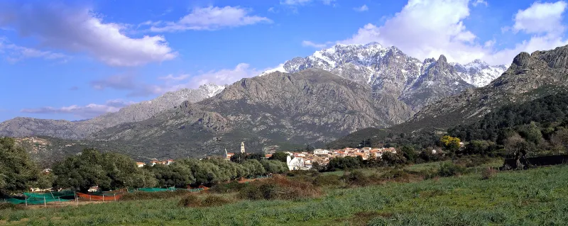
Photo credit
Photo : Pierre Bona / Wikimedia Commons · Cropped — CC BY-SA 3.0 · SourceCalenzana: the starting village of the northern GR20.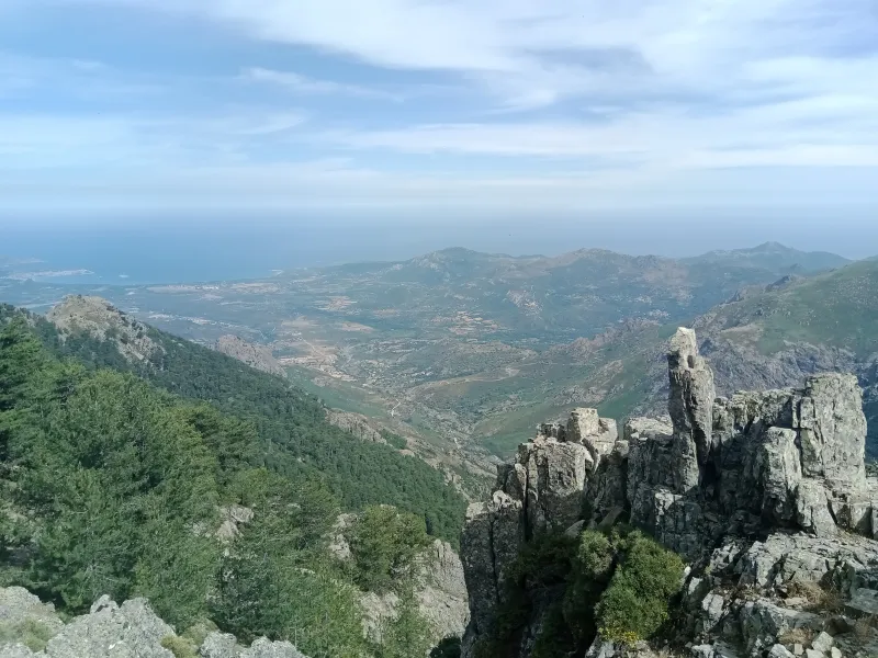
Photo credit
Photo : Rémih / Wikimedia Commons · Cropped — CC BY-SA 4.0 · SourceBalagne and the Gulf of Calvi: on the GR20 ascent, openings in the terrain offer views towards the plain and the sea, linking the coast with the first mountain ridges.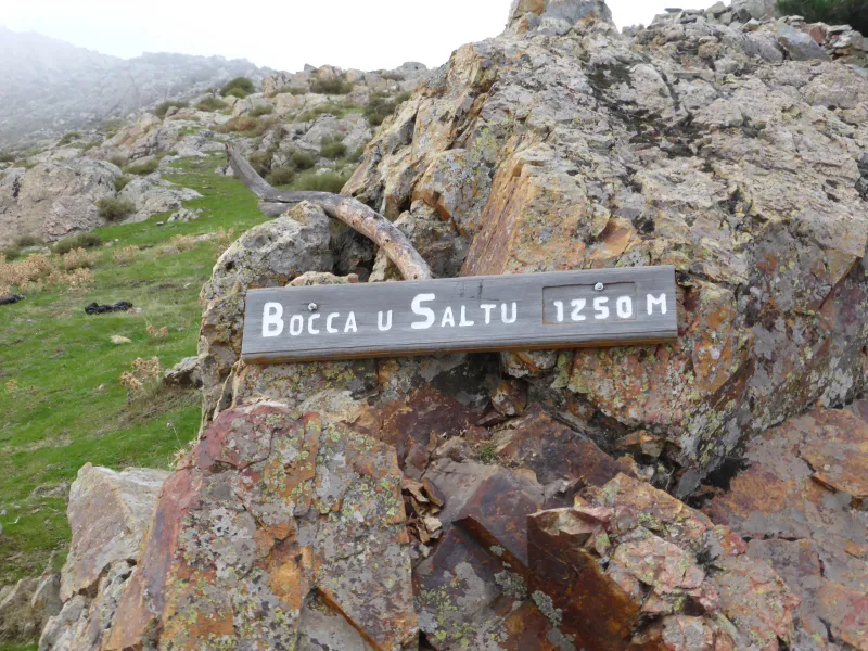 Bocca u Saltu: a passage towards rockier terrain.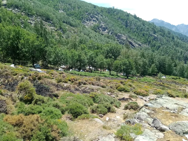
Photo credit
Photo : Rémih / Wikimedia Commons · Cropped — CC BY-SA 4.0 · SourceOrtu di Piobbu: the end of this first stage.


.jpg)


Practical advice
Book accommodation through the Park and check which facilities are actually available. Prepare drinking water, food, protective clothing and an offline map. An early start requires organising the transfer the day before.
Safety information
Demanding stage: considerable ascent, rocky terrain and a cable-equipped passage. Thunderstorms, heat, wind and possible snow patches alter the difficulty. Water at springs and refuges is not necessarily monitored: ask and treat it when necessary. Check mountain weather and wildfire restrictions.
Photo gallery
Select a photograph to enlarge it.
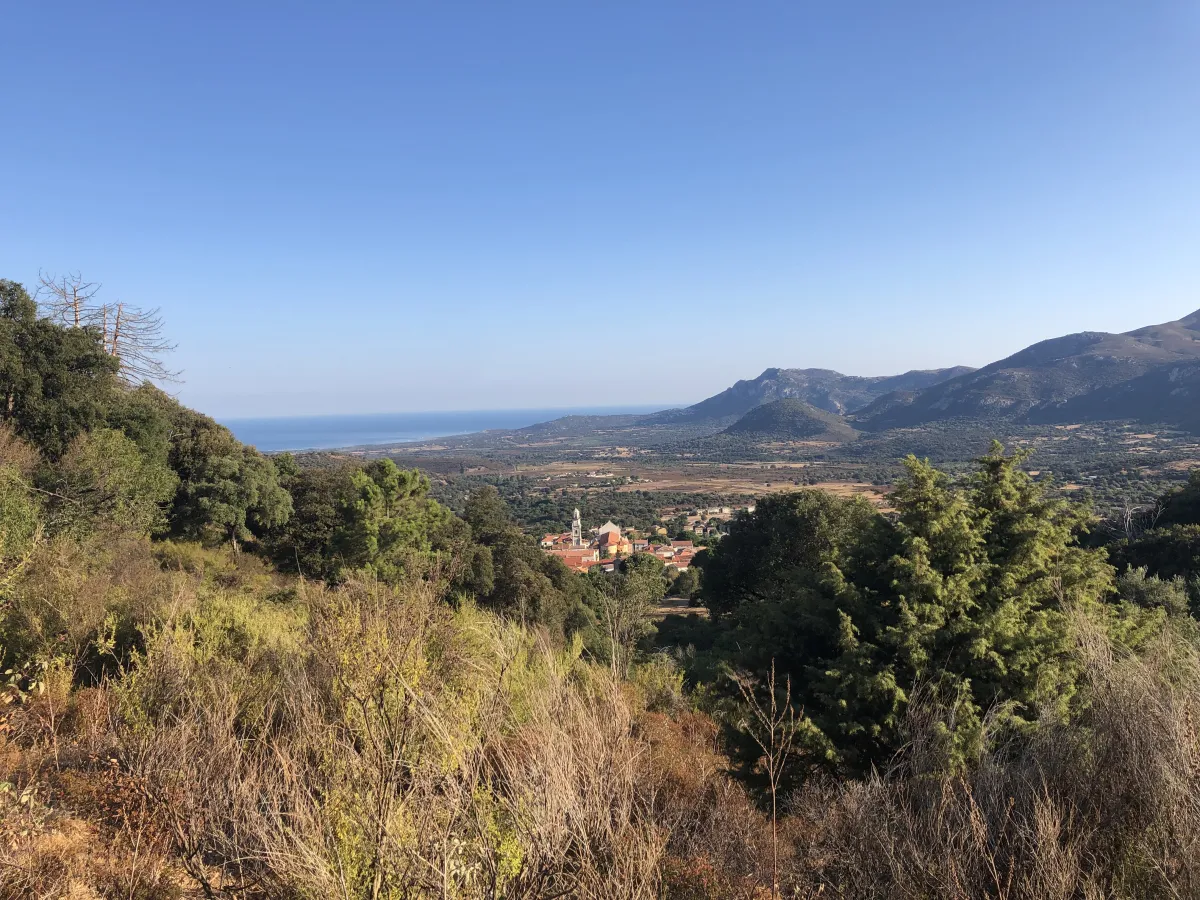
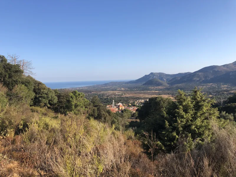
Calenzana and the plain seen from the start of the GR20.
Photo : Prior86 / Wikimedia Commons · Cropped — CC0 · Source


The warden’s cabin at Ortu di u Piobbu, June 2022.
Photo : Rémih / Wikimedia Commons · Cropped — CC BY-SA 4.0 · Source

Balagne and the Gulf of Calvi seen from the GR20 between Calenzana and Ortu di u Piobbu.
Photo : Rémih / Wikimedia Commons · Cropped — CC BY-SA 4.0 · Source
The Ortu di u Piobbu campsite in evening light, June 2022.
Photo : Rémih / Wikimedia Commons · Cropped — CC BY-SA 4.0 · Source

Calenzana between olive groves and the mountains of Balagne.
Photo : Pierre Bona / Wikimedia Commons · Cropped — CC BY-SA 3.0 · Source