
Calvi
Calvi → Revellata lighthouse
Walk from Calvi station to the harbour, follow the coast to l’Alga and explore the Revellata peninsula as far as the lighthouse.

From the town to the rocky headland
The Revellata is visible from Calvi, but walking there changes how you see the landscape. Leave the quays and streets behind, and the coastline unfolds into headlands, small coves and beaches. The lighthouse remains a distant destination at the end of a peninsula where maquis and rock replace houses. Looking back, the citadel shows how far you have come without constantly checking a distance.
Arriving by train suits this outing: the station is close to the harbour area where the chosen route begins. There is no need to drive to a car park on the coastal road. The hike combines a coastal approach with a loop on the peninsula before returning to Calvi. The climbs are modest by Corsican mountain standards, but sun, wind and repeated rocky stretches all count. This is a walk of several hours, best enjoyed with time for viewpoints and enough water.
The route

The coast, l’Alga and the lighthouse
From the station, head to the harbour area and the start of the coastal route. The reference track begins in this lower part of Calvi, passes along the town’s waterfront and then reaches the western side. The start is still urban: take care at crossings and in traffic. Do not try to cut through harbour facilities or along the railway. Use this first stretch to identify your return route to the station as well.
As you leave the centre, views open along the coast towards the Revellata. Saint-François and the Roncu area mark the transition from town to coastal path. The sea is almost always in sight, but the terrain is far from a uniformly level promenade. The coast requires you to follow the contours of the land; on some stretches, watch your footing rather than gazing out to sea.
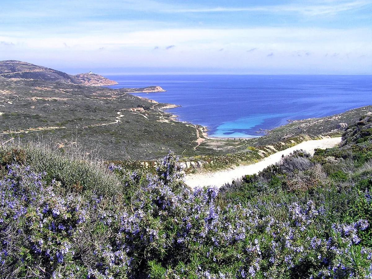
The coastal path leads towards Punta Vaccaja and l’Alga beach. Coves, rocks and maquis form a succession of close-up scenes while the peninsula becomes more prominent ahead. At l’Alga, the beach is an easily recognised landmark and a place to reassess the time, remaining water and onward route. A break must not obscure the fact that the lighthouse is further away and you still have to return to Calvi.
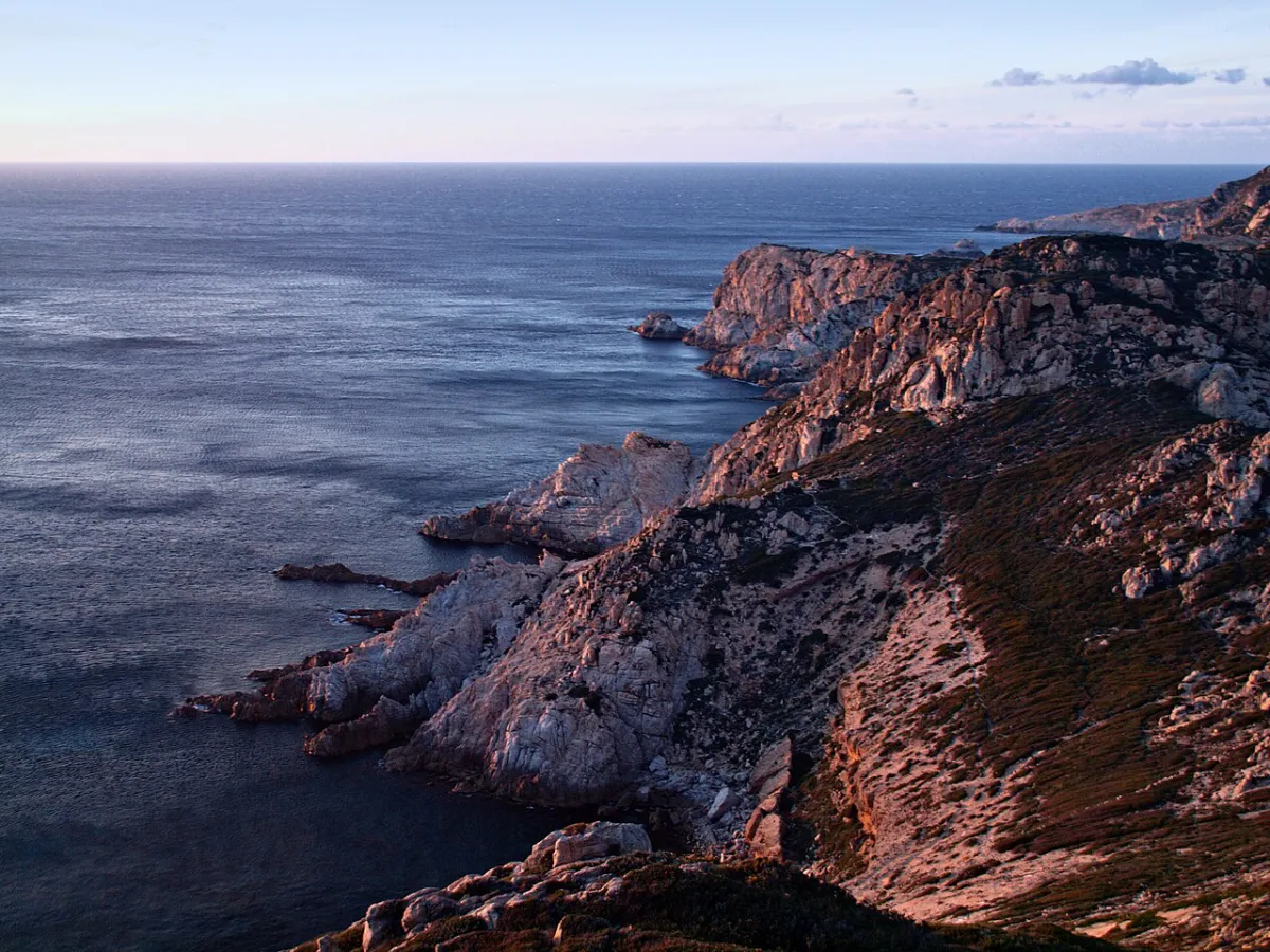
On the peninsula, follow the chosen waymarked route rather than combining whichever tracks you see. It includes a loop that varies the views instead of retracing the whole path. The two sides of the headland contrast strongly: western slopes are steeper, while other sections descend towards coves. Keep away from edges, especially in strong winds. Tracks that seem to lead straight to the sea may enter terrain much more difficult than the path.
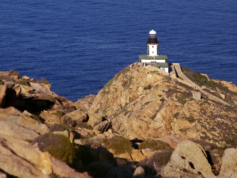
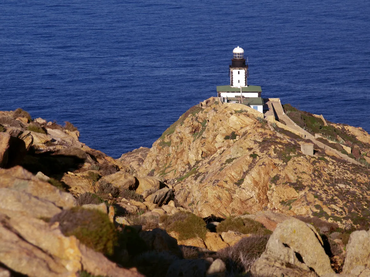
At the end of the peninsula, the lighthouse gives the walk its destination. The appeal also lies in the views outside, across the gulf, neighbouring headlands and mountains behind Calvi; the outing does not depend on going inside the building. The area also houses a marine research station: respect restricted access and do not mistake a service track for the continuation of the route.
The loop returns towards the lower part of the peninsula, then the coastal approach leads back to town. The same landmarks seen in reverse help you judge the remaining walk. Save water for this final stretch, often still exposed. Once back at the harbour, reach the station with enough time to spare. Both the measured route and the final walk to the platform must fit into the time available before your train.
The chosen route and alternatives
This walk follows the coastal route from Calvi with a loop around the Revellata. It differs from the 12.4 km out-and-back route and the shorter loops starting at a car park on the Porto road. Do not mix the distances and elevation gains of these alternatives. Turning back at l’Alga is a different objective, with figures that do not match the full route.
Along the way
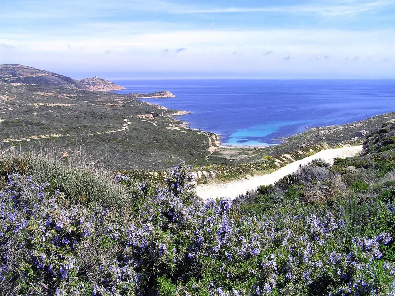
Photo credit
Photo: Pierre Bona / Wikimedia Commons — CC BY-SA 4.0 · SourceL’Alga beach: a landmark between the coastal approach and the peninsula, useful for deciding whether to continue or turn back.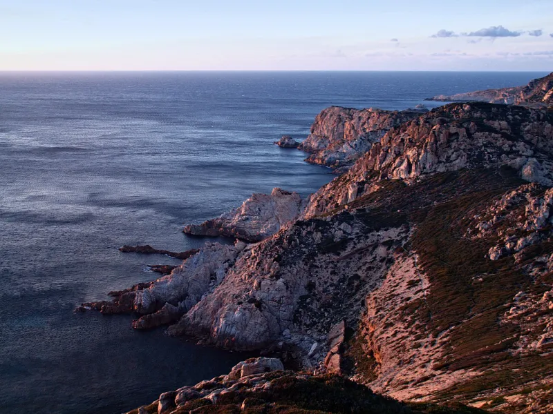
Photo credit
Photo: Pierre Bona / Wikimedia Commons — CC BY-SA 3.0 · SourceThe two sides of the Revellata: steeper cliffs to the west, coves and gentler slopes elsewhere, seen from the paths.-
Photo credit
Photo: Pierre Bona / Wikimedia Commons — CC BY-SA 3.0 · SourceThe lighthouse: the destination offers views from outside; do not plan an indoor visit without specific information. 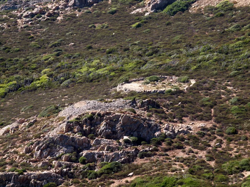
Photo credit
Photo : Pierre Bona / Wikimedia Commons · Cropped — CC BY-SA 3.0 · SourceRural traces: stone walls, old plots and agricultural remains reveal a once-worked landscape. Observe them without leaving permitted routes.


Practical advice
Carry all the water you need, a hat and sun protection. Low maquis does not provide the continuous shade of a forest. Choose shoes with grip on stones and bring a windproof layer for exposed breaks. In hot weather, start early and consider a shorter destination if the heat makes walking difficult.
Safety information
In strong winds, keep away from cliff edges and do not venture onto rocks battered by the sea. Check fire risk and local restrictions before setting off. The peninsula is protected: stay on paths, do not pick vegetation and take your litter home. Do not assume free access to the lighthouse or research station buildings.
Photo gallery
Select a photograph to enlarge it.

An old stone threshing floor on the Revellata peninsula.
Photo : Pierre Bona / Wikimedia Commons · Cropped — CC BY-SA 3.0 · Source