
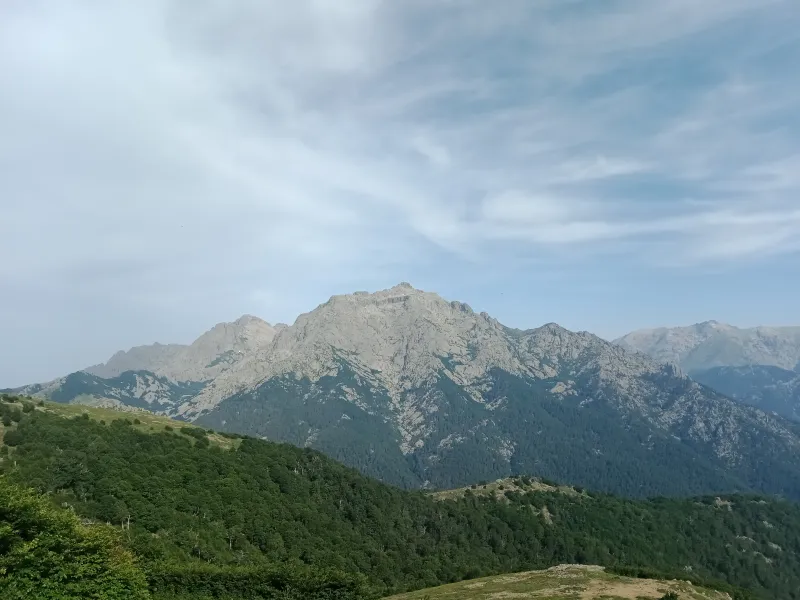
Vizzavona
Bocca Palmente from Vizzavona
A forest loop from the station to the pass overlooking the eastern plain.
Bocca Palmente from Vizzavona
Bocca Palmente offers a striking change of scale from Vizzavona. The train leaves you in the forest; a few hours later, your view stretches across the mountains towards the east of the island. Between the two, the walk is mostly beneath pine and beech trees before the more open final zigzags to the pass. This is an outing for those wanting a full mountain day without choosing a technically demanding summit.
The loop described starts and finishes at the station. Its 11.51 km and roughly 730 m of climbing still require stamina: shade and a steady gradient do not make the effort negligible. Allow time for the junctions on the return, which are less straightforward than the ascent on the GR20. The pass is this walk’s destination; continuing towards the shepherds’ huts and Capannelle changes the scale and organisation of the day.
When planning your trip, first choose outward and return trains compatible with more than five hours of walking, plus breaks. A late arrival at Vizzavona is better suited to a shorter outing.
The route

Landmarks along the route
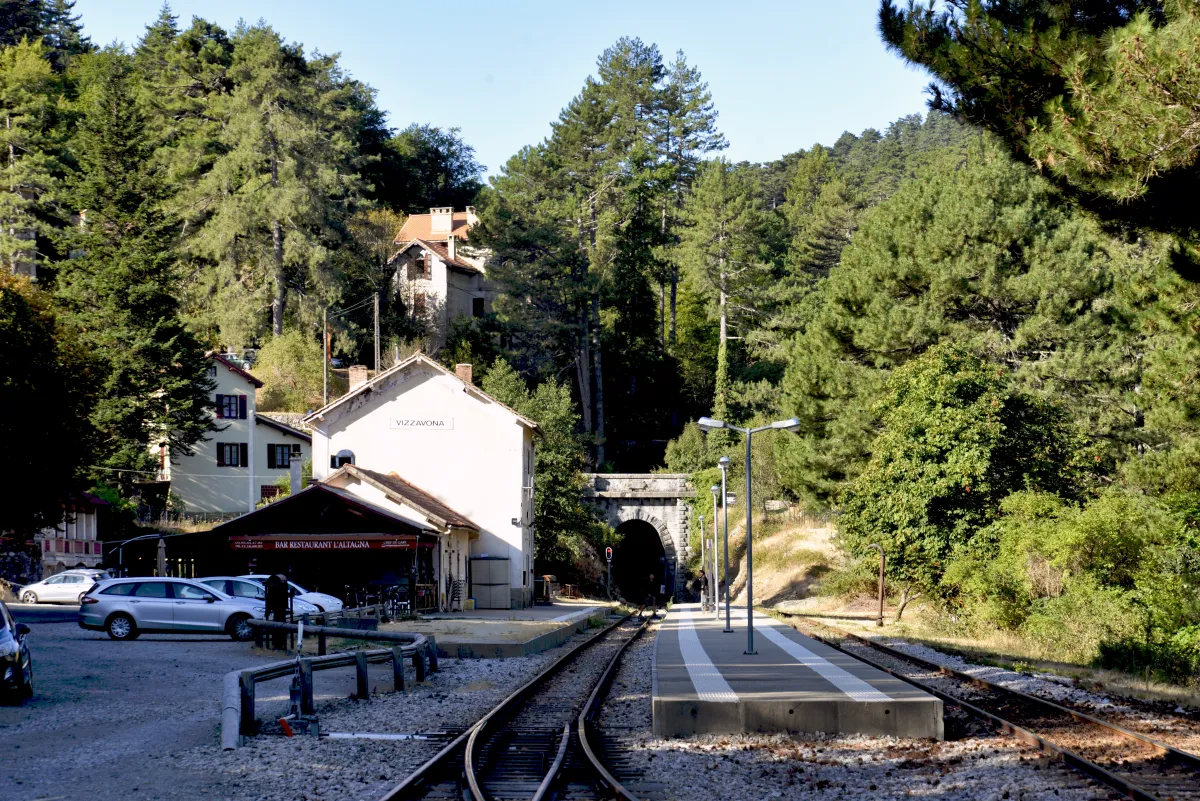
From the station, head for the GR20 South sign. The first decision is to choose this direction rather than the branch climbing towards the Cascades des Anglais. The route reaches the area around the forestry house and crosses the main road: watch for traffic before rejoining the path.
The climb alternates between forest tracks and footpaths. Follow the GR20 waymarks at every junction; a wide track is not necessarily the right direction. Beneath the trees, keep a steady pace that lets you talk without becoming breathless. This long stretch gradually leads to the change of scenery at the pass.
Near Bocca Palmente, the tree cover thins and the zigzags become more pronounced. The panorama brings together the inland mountains and the eastern plain. Visibility depends on cloud and mist: do not prolong your wait at the pass if you are getting cold or your return is becoming too late.
For the selected loop, first descend the way you came, then take the path signposted towards the Col de Vizzavona before following yellow waymarks back towards the station. This second half requires careful map reading at junctions. Do not simply descend to the road pass for convenience: that would be a different finishing point.
The return crosses several tracks and reaches the forestry house area. Rejoin the link to the station, taking the same care when crossing the road. Do not cut across the zigzags: forest soils and drainage channels deteriorate quickly when walkers create multiple tracks.
If the weather worsens or navigation becomes uncertain, consider returning along the route you already know while there is still time; the distance will then differ from that of the loop. Keep an offline map and a reserve of battery power. The train timetable is part of your planning, never a reason to run on a wet path.
The pass is also a good place to decide what comes next. Before taking the return branch, compare the time already spent, your water supply and the train time. Walking a loop requires knowing where you are: heading back to the station does not mean always choosing the steepest downhill path. In wooded sections, take time to find the waymarks again after every junction rather than following an uncertain track for a long time.
Selected variant: an 11.51 km loop from the station, rather than an out-and-back walk on the same path. The figures of 731 m and 5 h 25 come from this specific track; other publications round them differently. Documentary check: 19 September 2026.
Along the way
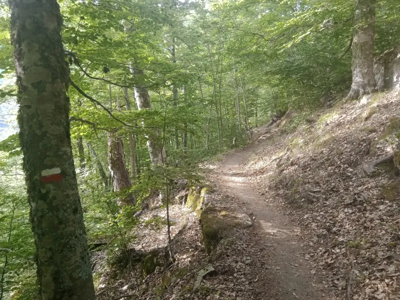
Photo credit
Photo : Rémih / Wikimedia Commons · Cropped — CC BY-SA 4.0 · SourceVizzavona forest: a long climb among pine and beech trees.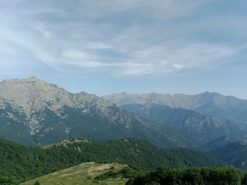
Photo credit
Photo : Rémih / Wikimedia Commons · Cropped — CC BY-SA 4.0 · SourceBocca Palmente: the passage between the inland mountains and the eastern slopes.-
Photo credit
Photo: Rémih / Wikimedia Commons — CC BY-SA 4.0 · SourceMonte d’Oro: a distinctive outline visible from the pass. 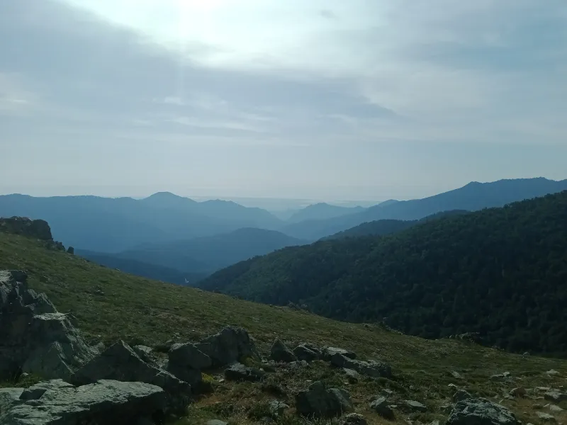
Photo credit
Photo: Rémih / Wikimedia Commons — CC BY-SA 4.0 · SourceThe eastern plain: an open horizon when visibility permits.


Practical advice
Carry water rather than relying on a spring, a windproof layer and a map. Take a break before the final hairpins if the climb is tiring. On the return, check directions before leaving the GR20.
Safety information
Snow, fog and thunderstorms greatly change conditions at the pass. Take care when crossing the road. Turn back if conditions exceed your experience.
Photo gallery
Select a photograph to enlarge it.



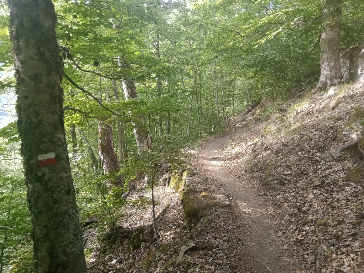
A path beneath the leafy canopy of Vizzavona forest.
Photo : Rémih / Wikimedia Commons · Cropped — CC BY-SA 4.0 · Source