
Bastia
Bastia: Old Port, Aldilonda and citadel
An urban loop between quays, narrow streets and a walkway above the sea.
Bastia: Old Port, Aldilonda and citadel
You can explore Bastia in walking shoes without leaving the town. This walk links the Old Port, the centre’s shopping streets, the Aldilonda walkway and the citadel district. Its appeal lies in the contrasts: from closely packed façades around the boats to a path suspended above the sea, then the squares and ramparts of the upper town.
The described loop is 3.90 km from the Old Port. It suits a leisurely visit, but stairs and changes of level mean it is not entirely flat. The stated hour and a quarter covers walking: visits, breaks and the link from the station are additional.
For a rail traveller, this outing is easy to fit into a free half-day. Still allow time to return to the station, especially if you enter the museum or stop for lunch. Public spaces may be temporarily closed, particularly in rough seas.
The route

Landmarks along the walk
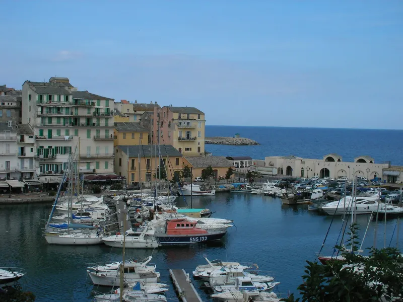
Reach the Old Port from the station through the town centre. The loop’s reference point is beside the harbour basin; take a moment to identify where you will return. The approach walk is not included in the figures shown.
The first section reaches the area around Saint-Jean, then the market square. The narrow streets mainly call for care at crossings and on stairs. Rather than trying to visit everything at once, use this section to understand how the lower town is arranged around the harbour.
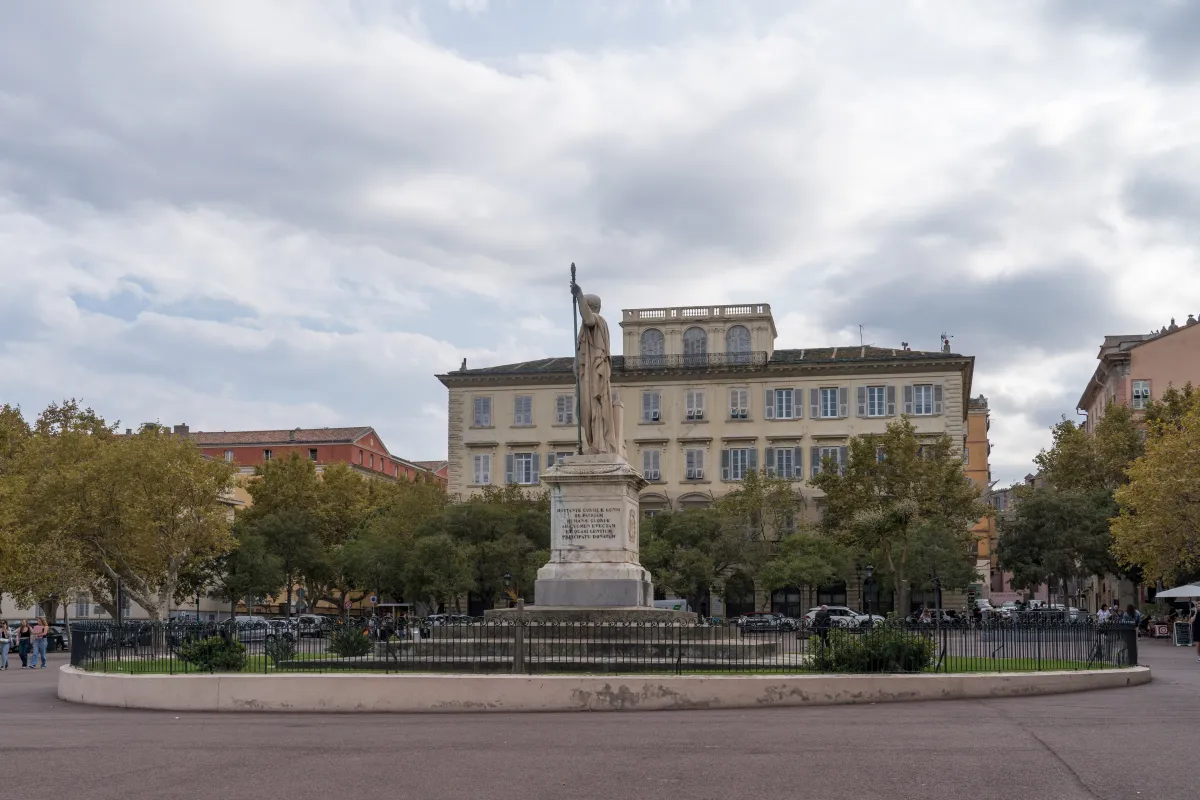
Passing through Saint-Nicolas and rue Napoléon changes the walk’s rhythm. Spaces widen, then narrow again. Return towards the quays and continue around the basin to the entrance to the Aldilonda.
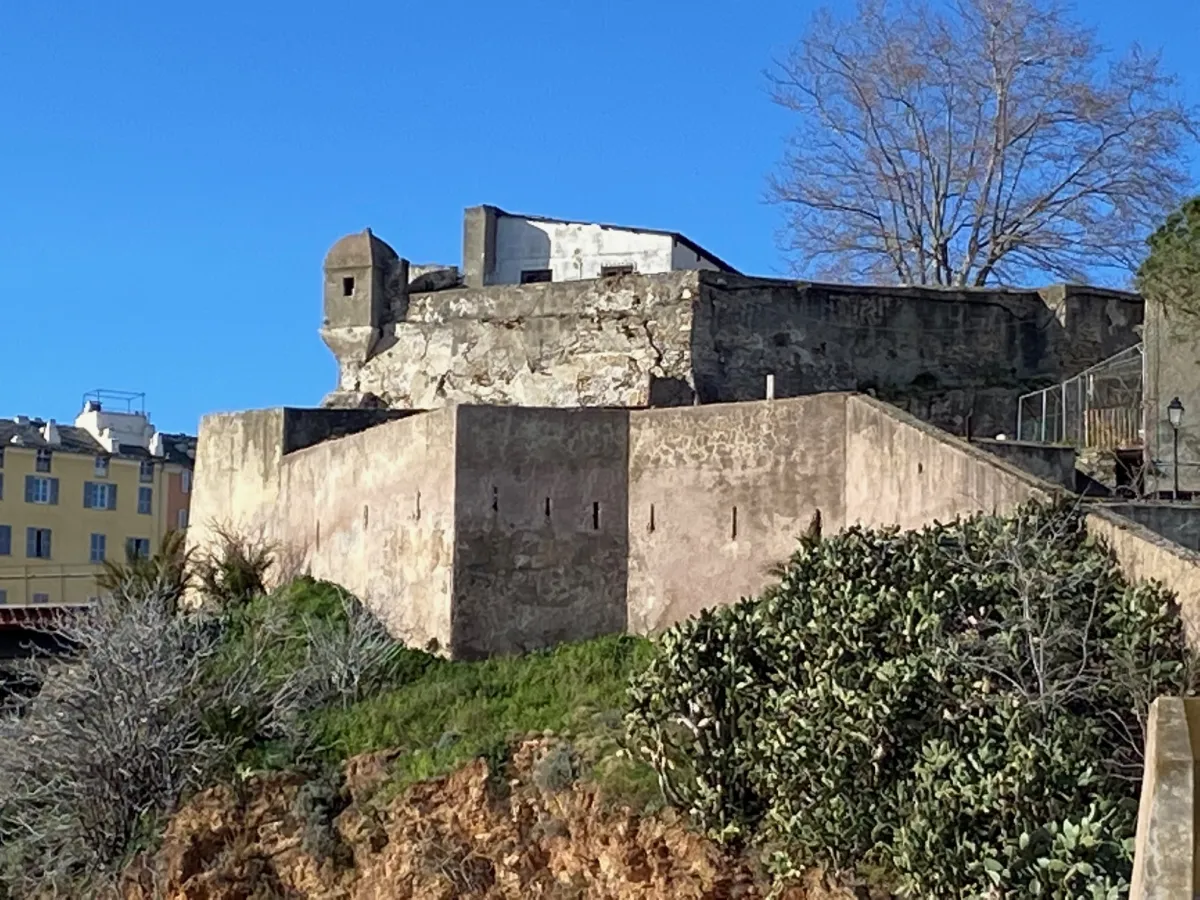
The walkway rounds the citadel’s rocky base close to the water. Its 450 metres are one section of the loop, not the full distance of the outing. Walk without obstructing others; to photograph the sea or ramparts, stop somewhere wide enough. If an access point is closed, do not cross any barrier.
Then reach the upper town via the pedestrian link towards place Vincetti. Within the citadel, narrow streets lead towards Santa Maria, place Guasco and the Governors’ Palace area. Visiting the museum inside is optional and requires time separate from the walk.
Descend towards the harbour by the open, signposted public route. Romieu garden or the lift may form part of this descent depending on access conditions; do not base your return timing on an amenity being available. Rejoin the basin, then the town centre to reach the station. A diversion caused by works may change the final distance.
Reference loop of 3.90 km from the Old Port. The garden closure mentioned in a 2023 description is not current information: check signs on the day. Access conditions may change the route. Documentary check: 19 September 2026.
Along the way
-
Photo credit
Photo: Gzen92 / Wikimedia Commons — CC BY-SA 4.0 · SourceThe Old Port: quays and façades around the harbour basin. 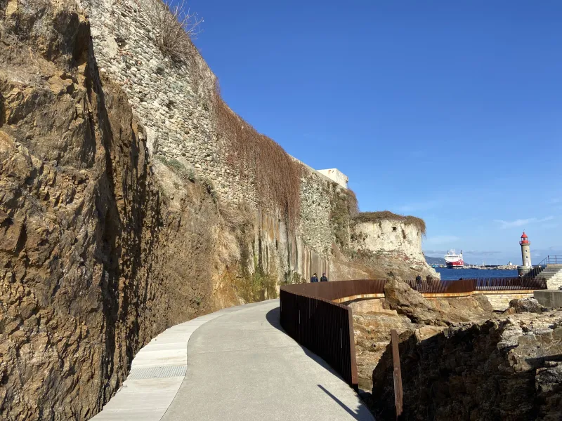
Photo credit
Photo : Cosudibastia / Wikimedia Commons · Cropped — CC BY-SA 4.0 · SourceThe Aldilonda: the walkway at the foot of the ramparts.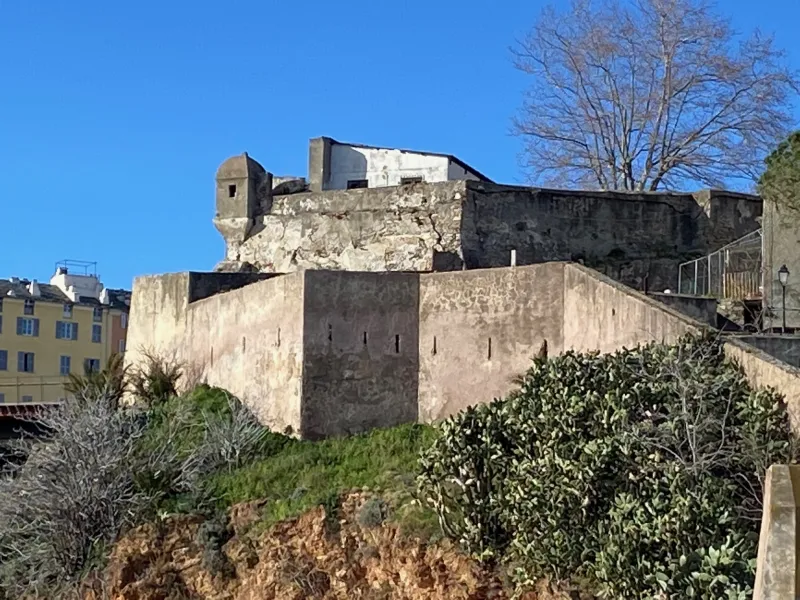
Photo credit
Photo : Cosudibastia / Wikimedia Commons · Cropped — CC BY-SA 4.0 · SourceThe citadel: narrow streets, squares and the Governors’ Palace.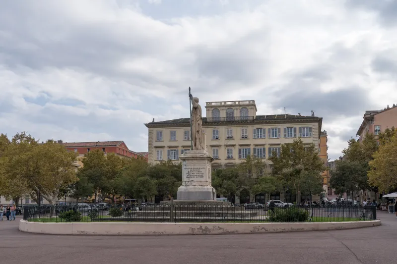 Saint-Nicolas: a broad open space in the town centre.
_(6).jpg)


Practical advice
Wear comfortable shoes for stairs, bring water and allow time for visits. The museum has its own opening hours. A short walk can easily become a half-day of exploration.
Safety information
Heavy swell or bad weather may close access to the coast. Respect barriers and signs. Take care on wet stairs and paving stones.
Photo gallery
Select a photograph to enlarge it.

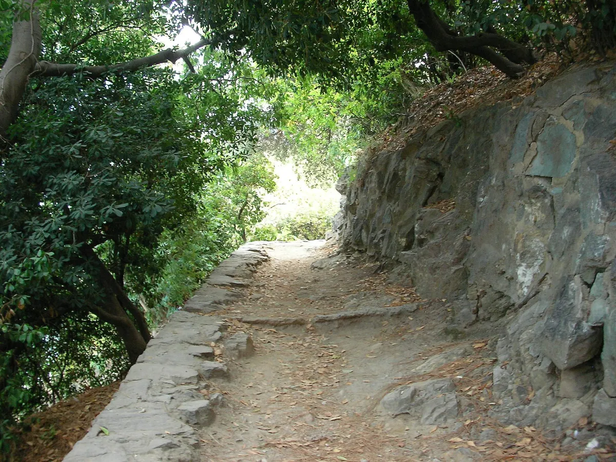
A shaded path in the Romieu gardens between the Old Port and the citadel.
Photo : Gzen92 / Wikimedia Commons · Cropped — CC BY-SA 4.0 · Source_(2).jpg)

Bastia’s Old Port seen from the heights of the citadel.
Photo : Sosonord / Wikimedia Commons · Cropped — CC BY-SA 4.0 · Source

The Aldilonda walkway follows the walls of Bastia’s citadel.
Photo : Cosudibastia / Wikimedia Commons · Cropped — CC BY-SA 4.0 · Source